This COA includes the Queen Creek riparian corridor that stretches from the Town of Superior to Chandler Heights. Queen Creek consists of multiple stretches of intermittent stream-flow, with the majority of sections offering ephemeral surface water. Xeric-washes are present throughout the reach and are tributaries to Queen Creek. Vegetation consists of semi-riparian/xeric species such as velvet mesquite, blue palo verde, cottonwood, creosote, salt cedar (tamarisk), annual grass species, and seep willow. The Queen Creek COA contains important riparian corridor habitats that run through dense urban areas. The Queen Creek Dam stops all surface water flow at Queen Valley, and results in the remaining channel to consist of ephemeral washes with almost no facultative wetland species present.
Conservation Goals
- Restore and maintain proper stream flow and riparian habitat throughout Queen Creek.
- Work with adjacent landowners located within the tertiary floodplain to help alleviate runoff and increase mitigation efforts.
- Work with stakeholders and landowners for recreational activities.
Map
Primary Threats
3. Climate Change and Severe Weather
4. Residential and Commercial Development
7. Human Intrusions and Disturbance
8. Invasive and Other Problematic Species
9. Natural System Modifications
10. Pollution
Potential Conservation Actions
1. Land and Water Protection
- Implement long-term strategies to protect target areas from further encroachment
- Develop conservation easements on public or private lands in order to maintain and protect wildlife corridors and buffer quality wildlife habitat.
2. Land and Water Management
- Remove salt cedar from riparian areas and replace with native broadleaf riparian vegetation such as cottonwoods and willows.
3. Species Management
- Work with Boyce Thompson Arboretum to help propagate and reestablish native fish species.
7. External Capacity Building
- Build coalitions between municipalities, agencies, and local mining operations to reduce impacts to natural resources.
Habitats Present
Strategy Species
Amphibians
Lowland Leopard Frog, Sonoran Desert Toad
Birds
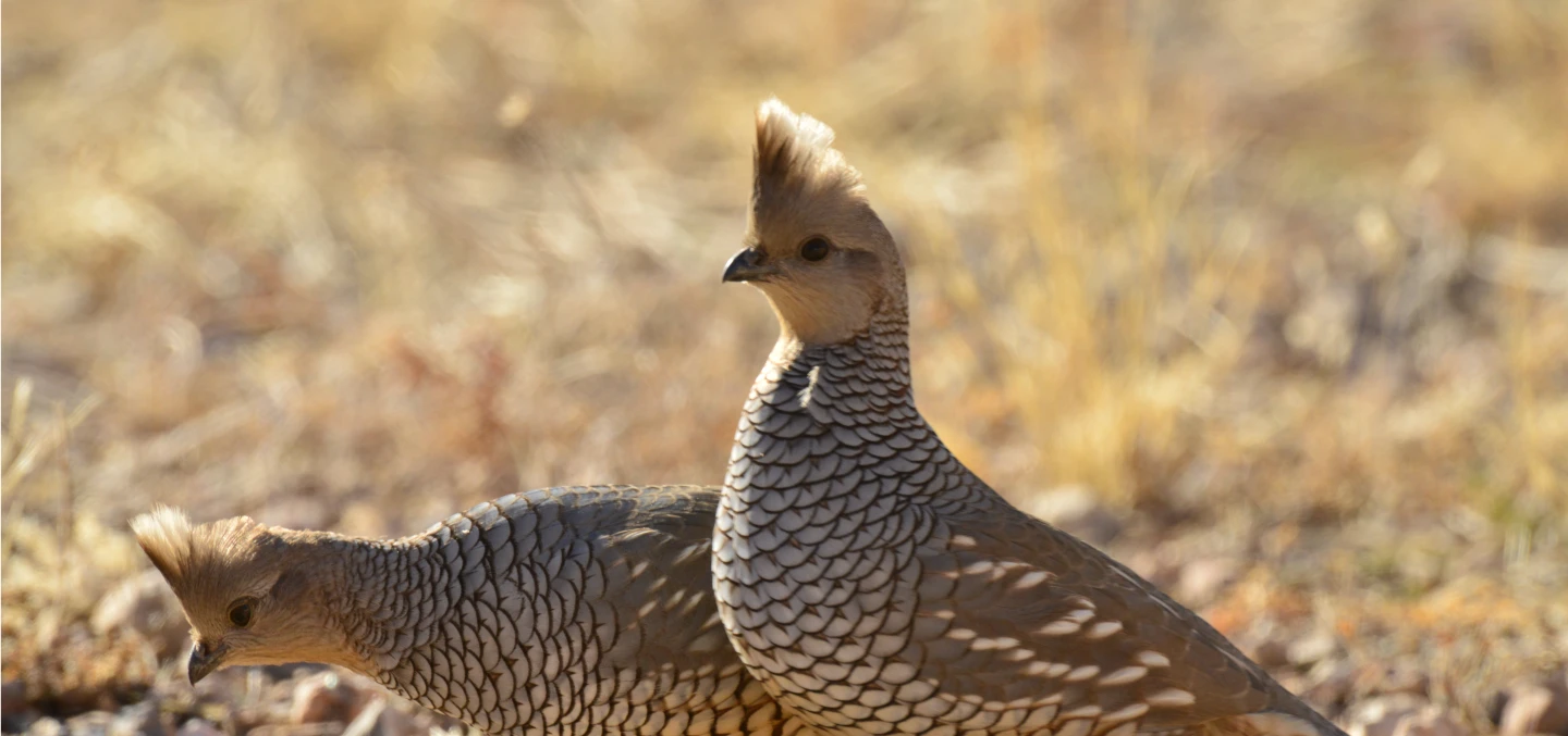
Bridled Titmouse, Canyon Towhee, Common Black Hawk, Golden Eagle, Harris's Hawk, Rock Wren, Scott's Oriole, Southwestern Willow Flycatcher, Western Burrowing Owl, Western Wood-Pewee, Woodhouse's Scrub-Jay
Mammals
Bailey's Pocket Mouse, California Leaf-nosed Bat, Cave Myotis, Fringed Myotis, Greater Western Mastiff Bat, Hoary Bat, Mexican Free-tailed Bat, Mexican Long-tongued Bat, Pale Townsend's Big-eared Bat, Western Red Bat, Western Yellow Bat, Yuma Myotis
Reptiles
Arizona Black Rattlesnake, Bezy’s Night Lizard, Black-necked Gartersnake, Gila Monster, Regal Horned Lizard, Saddled Leaf-nosed Snake, Sonora Mud Turtle, Sonoran Coralsnake, Sonoran Desert Tortoise, Tiger Rattlesnake, Variable Sandsnake
Fish
See Associated Aquatic COAs for fish species.
Protected Areas and Other Areas of Conservation Value
- Boyce Thompson Arboretum
- Arizona Trail
Potential Partners
- Bureau of Land Management
- US Forest Service
- Pinal County Open Space and Trails
- Arizona Trail Association
- City of Queen Valley
- City of Superior
- City of Queen Creek
- Boyce Thompson Arboretum
Relevant Conservation Plans
- Southwestern Willow Flycatcher Recovery Plan
- Desert Pupfish Recovery Plan
- Gila Topminnow Revised Recovery Plan