The 2020 Bush Fire burned a large portion of the Mesa Ranger District (RD) from Bush Highway
north to Mt. Ord east of SR 87. Much of the fire occurred within the Four Peaks Wilderness on
both the Mesa and Tonto Basin Ranger Districts. The area affected by the Bush Fire is
characterized by substantial diversity in elevation, terrain, and vegetation. Elevations range from
1,600 feet along the Salt River corridor to 7,657 feet at Brown’s Peak. Major landmarks include SR 87
to the west, Mt. Ord to the north, Apache Lake and the river corridor to the south, and SR 188 to
the east. Habitats in this COA include upland Sonoran desertscrub, chaparral, semidesert grassland in lower elevations to Petran montane conifer forest and Madrean evergreen woodland in higher elevations. Many canyons and drainages provide several well-developed riparian communities of cottonwood, willow, sycamore, ash, and walnut.
Significant uses in the Four Peaks Wilderness and surrounding areas include livestock grazing, off-highway vehicle (OHV) use, target shooting, mining, hunting, hiking, camping, and equestrian use. Lower elevation areas within the fire footprint have been affected by the introduction and spread of non-native plant species such as red brome, common Mediterranean grass, Arabian Mediterranean grass, and mouse barley. Invasive fountain grass and buffelgrass are increasingly problematic as their proliferation can increase wildfire potential and severity in the delicate desert ecosystems.
The 40,000-acre Three-Bar Natural Research Area, located entirely within the Bush Fire COA, encompasses a diversity of habitats and elevations in the foothills of the Mazatzal Mountains. Habitat types on the property include Sonoran desertscrub and chaparral along with riparian woodland habitats. While the research area is no longer actively managed, it still provides an important area for long-term water quality and control for wildlife.
Conservation Goals
- Improve native vegetation and soil recovery within previously burned habitats.
- Maintain healthy species populations through monitoring, relevant conservation actions, reintroductions and habitat improvements.
- Improve water availability across the landscape to mitigate the effects of drought, fire and climate change.
Map
Primary Threats
3. Climate Change and Severe Weather
7. Human Intrusions and Disturbance
8. Invasive and Other Problematic Species
9. Natural System Modifications
11. Transportation and Service Corridors
Potential Conservation Actions
1. Land and Water Protection
- Create “fuels breaks” in areas of important conservation and recreational interest to help reduce the chance for fire encroachment.
2. Land and Water Management
- Improve wildlife artificial water availability across the landscape.
- Improve and protect existing natural water sources.
- Continue removal and management of invasive grass species in order to reduce fuel loads.
- Reintroduce prescribed burns to increase habitat resiliency in this unique and diverse montane woodland habitats.
3. Species Management
- Implement long-term monitoring protocols for SGCN habitats to inform adaptive management, such as Sonoran desert tortoise, golden eagle, and Mexican spotted owl.
- Implement species specific recovery plans for any species affected by the fire.
7. External Capacity Building
- Share information with local agencies and form long term monitoring plans to determine long term effects of fire within Sonoran Desert communities.
Habitats Present
- Chaparral
- Lower Sonoran Desertscrub
- Upland Sonoran Desertscrub
- Madrean Woodlands
- Great Basin Conifer Woodlands
- Lentic Systems
- Lotic Systems
- Wetlands
- Springs
Strategy Species
Amphibians
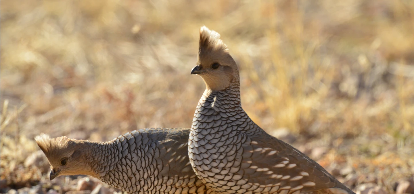
Birds
Bald Eagle, Golden Eagle, Gray Vireo, Harris's Hawk, Mexican Spotted Owl, Scott's Oriole, Southwestern Willow Flycatcher, Western Yellow-billed Cuckoo, Black-throated Gray Warbler, Juniper Titmouse
Invertebrates
Mammals
Mexican Free-tailed Bat, California Leaf-nosed Bat, Fringed Myotis, Hoary Bat, Pale Townsend's Big-eared Bat, Southwestern Myotis, Western Red Bat
Reptiles
Arizona Black Rattlesnake, Bezy’s Night Lizard, Black-necked Gartersnake, Gila Monster, Sonoran Desert Tortoise, Sonoran Spotted Whiptail, Tiger Rattlesnake, Mexican Gartersnake
Fish
See Associated Aquatic COAs for fish species.
Protected Areas and Other Areas of Conservation Value
- Four Peaks Wilderness
- Roosevelt Lake Wildlife Area and Three Bar Natural Research Area
Potential Partners
- Friends of Tonto National Forest
- US Forest Service
- Arizona Elk Society
- Arizona Mule Deer Organization
- Arizona Deer Association
- Mule Deer Foundation
- Arizona Desert Bighorn Sheep Society
- Maricopa County Flood Control District
- Maricopa County Parks and Recreation
- Salt River Project
- Natural Resources Conservation Service
- Arizona Department of Fire and Forestry Management
- AZ Department of Transportation
Relevant Conservation Plans
- Southwestern Willow Flycatcher Recovery Plan
- Mexican Spotted Owl Recovery Plan
- Gila Topminnow Revised Recovery Plan
- Tonto National Forest Resource Management Plan
Associated Aquatic COAs
- Greenback Creek (Gun Creek-Tonto Creek)
- Gun Creek (Gun Creek-Tonto Creek)
- Hidden Water Spring (Salt River-Apache, Canyon, and Saguaro Lake)
- Indian Spring (Salt River-Apache, Canyon, and Saguaro Lake)
- Kayler Spring (Gun Creek-Tonto Creek)
- Middle Water Spring (Tonto Creek-Theodore Roosevelt Lake)
- Tangle Creek