Roosevelt Lake provides quality lentic habitat with riparian vegetation along some of the banks and Sonoran desertscrub in the uplands. Roosevelt Lake is the largest lake in central Arizona and lies within the Tonto Basin, a low-elevation Sonoran desertscrub habitat zone. As such, lakeshore vegetation in undisturbed areas is composed of a saguaro, mesquite, and palo verde. Near the lakeshore, fluctuating water levels result in a “bathtub ring” of early successional habitats which can vary considerably from year to year, depending on recent water levels and precipitation regimes. In general, this zone tends to be vegetated with cockle burr, Bermuda grass, and other annual grasses and forbs, which also provide an important food source for wintering geese. If lake levels have not risen into this zone for several years, some intrusion by mesquite and other shrubs can occur.
Conservation Goals
- Improve native vegetation and soil recovery of fire-affected areas.
- Maintain healthy species populations through monitoring, relevant conservation actions, reintroductions and habitat improvements.
- Improve wildlife water availability across the landscape.
- Manage the Roosevelt Lake Wildlife Area for waterfowl by providing and enhancing foraging and resting areas.
Map
Primary Threats
3. Climate Change and Severe Weather
4. Residential and Commercial Development
7. Human Intrusions and Disturbance
8. Invasive and Other Problematic Species
9. Natural System Modifications
Potential Conservation Actions
1. Land and Water Protection
- Monitor and augment artificial and natural wildlife water availability across the landscape
2. Land and Water Management
- Continue removal and management of invasive grass species in order to reduce fuel loads.
- Remove salt cedar within riparian areas and replace with native broadleaf riparian plants.
3. Species Management
- Implement long-term monitoring protocols for native species and habitats to inform adaptive management.
- Implement long-term monitoring protocols for SGCN and habitats to inform adaptive management. Implement species-specific recovery plans for any species affected by the fire.
5. Law and Policy
- Increase enforcement of wildlife area rules in order to better manage and protect natural resources.
7. External Capacity Building
- Share information with local agencies and form long term monitoring plans to determine long term effects of fire within Sonoran Desert communities.
- Continue partnerships with non-governmental organizations for management of the area and funding opportunities.
Habitats Present
- Lower Sonoran Desertscrub
- Upland Sonoran Desertscrub
- Chaparral
- Great Basin Conifer Woodlands
- Lentic Systems
- Lotic Systems
- Wetlands
- Springs
Strategy Species
Amphibians
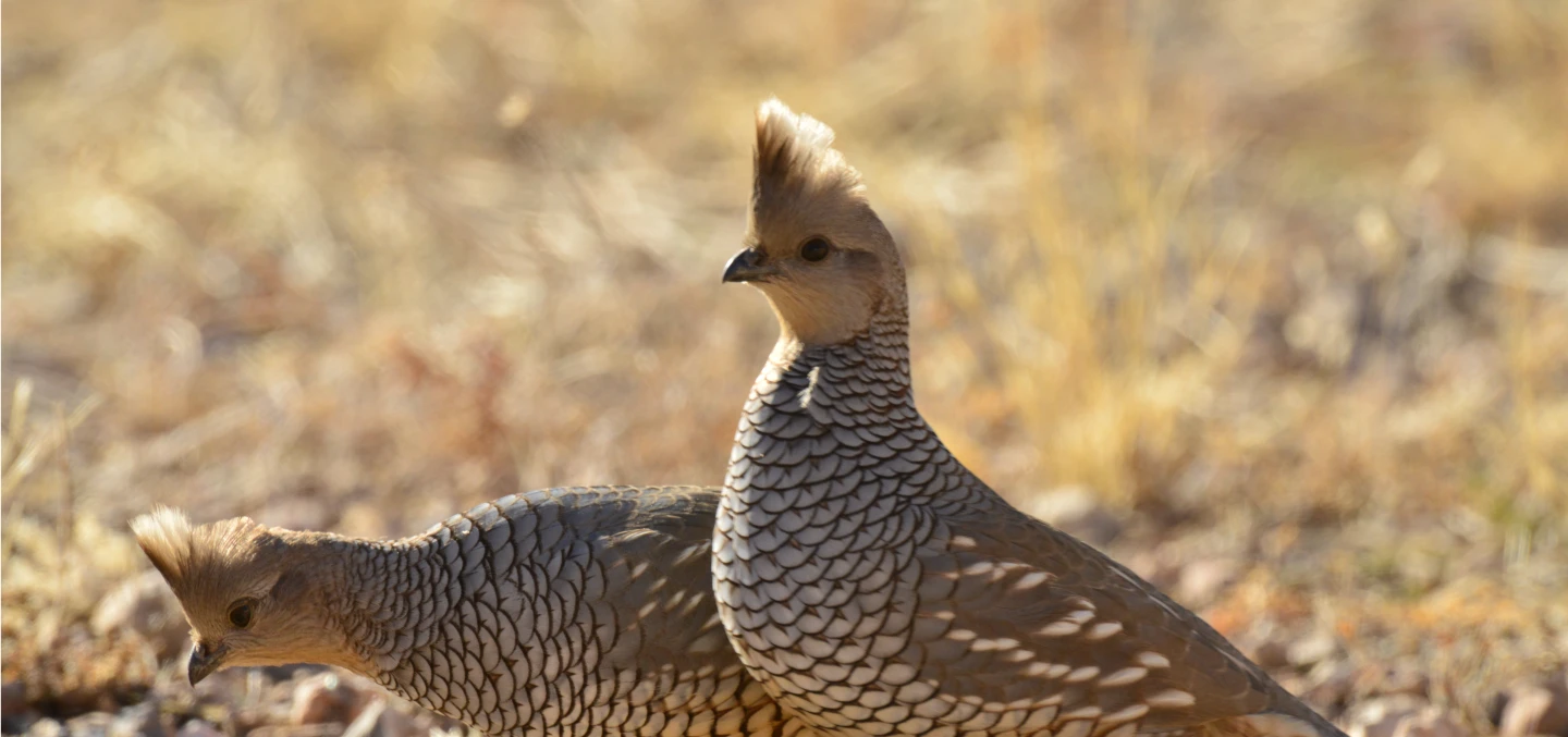
Birds
Bald Eagle, Canada Goose, Clark's Grebe, Eared Grebe, Golden Eagle, Great Blue Heron, American Peregrine Falcon, Pied-billed Grebe, Southwestern Willow Flycatcher, Spotted Sandpiper, Western Grebe, Western Yellow-billed Cuckoo
Reptiles
Mexican Gartersnake, Sonora Mud Turtle
Fish
See Associated Aquatic COAs for fish species.
Protected Areas and Other Areas of Conservation Value
- No associated Protected Areas
Potential Partners
- US Fish and Wildlife Service
- Tonto National Forest
- Gila County
- Salt River Project
- Natural Resources Conservation Service
- Arizona Department of Fire and Forestry Management
- AZ Department of Transportation
Relevant Conservation Plans
- Yuma Clapper Rail Recovery Plan
- Southwestern Willow Flycatcher Recovery Plan
- Tonto National Forest Resource Management Plan